Friday, 2 September 2016

Multiple sundial at Culzean Castle


This multiple sundial in the walled garden was fantastic. It looks like the gnomon in the middle picture is probably angled at the latitude angle usually used for the slope of a horizontally anchored gnomon. Technically they should all show the same time so it is easy to assess the relative accuracy. They come with very variable precisions. Notice how the width of each scale division decreases in the middle photograph although each represents an hour. The resolution decreases.

Thursday, 1 September 2016

Sundial sunset at Culzean Castle


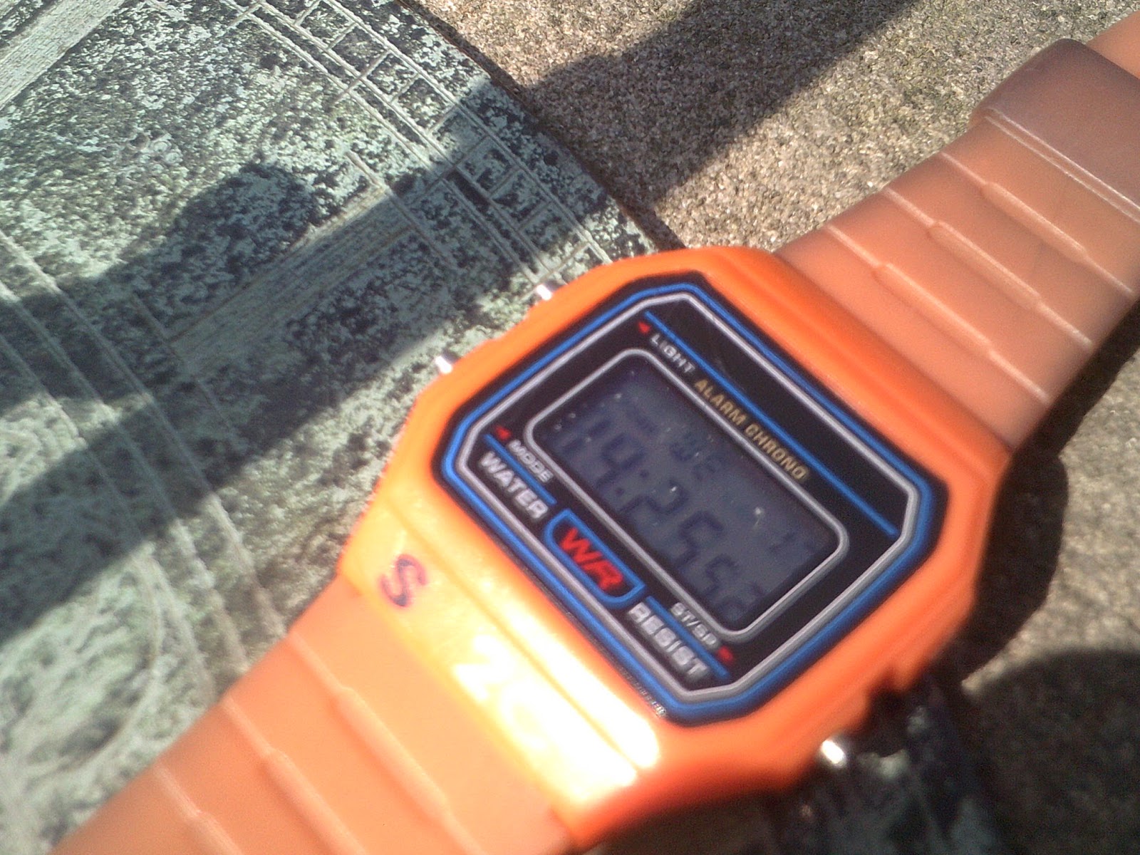
This sundial at Culzean Castle was almost on the correct time last week. My watch said 7.51pm BST and it said 6.52pm GMT. This is a very precise sundial, to the nearest 2 minutes. But of course, it might be precise but it is not always accurate. There is a fierce debate in UK science education about the definition of these terms.ACCURATE means correct and given the problems highlighted by the Dusseldorf correction graph, sundials are only accurate some of the time. PRECISE is often defined as "to more decimal places", though in the case of a scale like the sundial, the word RESOLUTION would now be used instead of PRECISION - how small the scale divisions are. There is a brilliant poster from the NPL exlaining precise and accurate http://www.npl.co.uk/educate-explore/posters/sport/accuracy

Tuesday, 30 August 2016

Sundial at Chirk Castle


The sundial at Chirk Castle is in the beautiful rose garden. It is not adjusted for British Summer Time so read 1.13pm. So that's 22 minutes out. I don't think any of the correction curves I have seen are out by that much. I was thinking of taking a compass to check for south but that's no use because it would give magnetic south not the direction of the Sun when it is highest in the sky...

Monday, 29 August 2016

Sonnenuhr in Düsseldorf: Equation of time


Another great municipal sundial. Note that the angle of the gnomon is only 51 degrees because we are much further south. A correction curve has been provided. It explains that there is a discrepancy between Sun-time on a given day and what you ought to expect. In other words, it doesn't take exactly the expected 24 hours between noon on two consecutive days - ie the time when the Sun is highest in the sky. This is due to three considerations: 1. The orbit of the Sun is not a perfect circle and is a slight ellipse. 2. The axis of the Earth is tilted. 3. The Earth is not just rotating on the spot. Every day it goes on its orbit round the Sun a little bit further. I noticed that the correction curve given is different to the one I've seen before at Amble in Northumberland http://wigtonphysics.blogspot.co.uk/2014/08/time-in-amble.html So the correction must be location dependent. I have found this https://en.wikipedia.org/wiki/Equation_of_time which I hope to have time to understand soon.

Saturday, 27 August 2016

The Three Shires Stone - Nodes and Networks

The Three Shires Stone marks the place where Lancashire, Westmorland and Cumberland used to meet. On the map, three lines come together at a point. That looks like the way they draw networks. The point is a node and the more lines coming into it, the more important it is. In a recent edition of Physics World, there was a report on the use of network analysis to see if Icelandic sagas were history or fiction. Links were drawn between characters. The characters were the nodes and the more lines they got the more important they were. If it looks like real life networks, it could be history rather than fiction. I need to check this but I don't think you can have a node like the Three Shires Stone with only two counties meeting. The interface would be a line. An example would be Caithness and Sutherland.

Friday, 26 August 2016

Robot lawnmower


We visited a house with this robot lawn mower. It senses the edge and turns the mower. It seemed to work on a law of reflection principle so that it covered the grass but not in logical lines like a human would. It was likened to a browsing sheep. I'm not sure what it was sensing - is a hedge a good enough target?

Wednesday, 24 August 2016

Odd vapour trail


I saw this whilst washing up. The higher white vapour trail had a lower dirty equivalent. My first thought was that it was a shadow of the trail cast onto lower cloud. The angle of the |Sun seemed wrong for that and it does seem to continue between two of the lower clouds and continue on to the horizon. Maybe it's just a coincidence and there is no link. Human minds are programmed to see links.